Did you know?
The International Boundary Commission was created in 1908
A Treaty signed in 1908 by the United States and Great Britain (on behalf of Canada) mandated the Commissioners to re-establish the boundary line between the two countries; the 1925 Treaty made the Commission permanent.
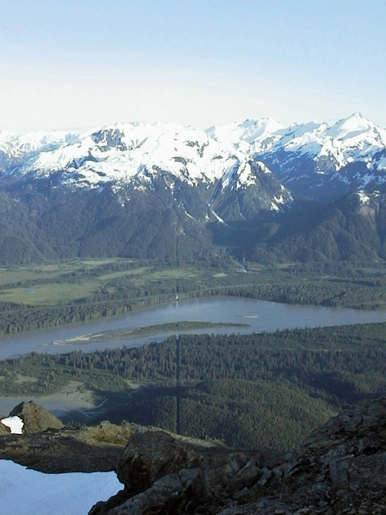
The Canada–United States border stretches for 8,891 km, or 5,525 miles, from the St. Croix River on the Atlantic Ocean to the Strait of Juan de Fuca on the Pacific, and from the Tongass Passage on the Pacific to the Arctic Ocean. It forms the boundary between ten states, seven provinces and one territory. It also traverses four of the five Great Lakes. This constitutes the world's longest land border between two adjoining countries.
Our common boundary serves its purpose well, and it has been cooperatively maintained for more than 100 years. The boundary defines the limits of national sovereignty, state and provincial rights, local government jurisdiction and parcels of private land. It allows airspace and mineral rights to be precisely defined. Without the boundary, it would be difficult for adjacent communities to administer everything from law enforcement, to school tax assessment and speed limits (whether in miles or kilometres…).
The Canada–United States boundary embodies a long history of productive and mutually beneficial political engagement. It represents many years of diplomacy and some 20 agreements among four countries — the United States, Canada, the United Kingdom and Russia. The Atlantic–Pacific boundary was determined by the 1783 Paris Peace Treaty, the 1818 Convention of Commerce and the 1846 Oregon Treaty. The Pacific – Arctic boundary dates back to the Convention of 1825 and to more recent awards of territory.
Marking and maintaining the boundary has been the mandate of the International Boundary Commission (IBC) since June 4, 1908, when the United States and the United Kingdom (representing Canada) agreed by treaty to each appoint a Commissioner. A treaty signed in 1925 provided for the creation of a permanent Commission that mandated the Canadian and American Commissioners, who jointly head the IBC, to inspect the boundary, repair and rebuild monuments, keep vistas open, place new monuments and report annually to their respective governments. The Canadian Commissioner is also guided by the International Boundary Commission Act, which sets out that the purpose of the IBC is to maintain an effective boundary between the two countries.
The United States and Canada have enjoyed a vibrant and collaborative relationship in marking, maintaining and mapping the boundary. Marking refers to placing thousands of monuments to make the border visible. Maintaining refers to caring for those monuments and to keeping clear vistas through trees, over mountains, across seemingly endless prairies, bogs and some of the most challenging terrain to be found anywhere. Mapping refers to creating and maintaining official boundary maps.
The IBC has been quietly effective for over a century and the very few disagreements that have arisen have been resolved by its two Commissioners. The IBC thus represents a true sharing of resources, intellect and goodwill in pursuit of a common objective.
Both the Canadian and American Sections of the IBC have their own respective resources. Each year, the two Commissioners collaborate to allocate work equitably between the two sections. Some parts of the boundary require ongoing maintenance as the result of topography, vegetation and abutting land use; others require less upkeep.
An effective boundary allows residents of Estcourt, Maine, and Pohénégamook, Quebec, to know that their porch is in the United States while their kitchen is in Canada. It allows moose hunters in Maine and golfers in southern Saskatchewan to know that their next shot may take them on an international venture It also allows crab fishermen in Boundary Bay to know which set of fishing regulations to respect. It does what people need a boundary to do: it defines our space.
The IBC also symbolizes continuing collaboration across our boundary line. Without the work of the IBC, we simply would not know where the border is.