
Geographical data
H - Arctic Ocean to Mount St. Elias
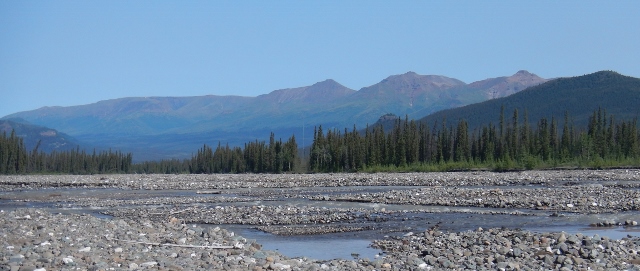
Section 29 - 141st Meridian
The 1,045 kilometres (650 miles) of straight-line boundary along the 141st Meridian from Mount St. Elias to the Arctic Ocean, was originally surveyed during the years 1907-1913. The original survey established control, projected the line, established monumentation, and mapped a 6-kilometre (4-mile) strip along the entire boundary. This section dips its toes in the Arctic Ocean and then rises to the 5 488- meter (18,005 feet) summit of Mount St. Elias. It runs through the taiga in the boreal part, riding some cliffs near the Yukon River and then cuts through a mixed forest that becomes less stunted in its southern section. The scarcity of roads complicates maintenance.